GIS International Diploma
Dr. Mohamed Mohsen Al-Attar, Vice President for Graduate Studies, on behalf of His Excellency Prof. Dr. Mohamed Othman El-Khasht, President of Cairo University, witnessed the signing ceremony of a joint cooperation protocol between the Faculty of Regional and Urban Planning at Cairo University and the International Environmental Systems Research Institute (ESRI) represented by ESRI-NORTH AFRICA.
The protocol was signed by Dr. Muhammad Mohsen Al-Attar, Vice President of the University, and Eng. Ahmed Makram, Director of the Smart Solutions Sector at Esri North Africa. And in the presence of Prof. Hisham Al Barmalji, Dean of the College of Regional and Urban Planning, Eng. Dina Naguib, Smart City Solutions Consultant, Eng. Islam Abdel Hakim, Director of Smart Solutions at Esri North Africa.
This protocol is considered the cornerstone for developing the spatial information system environment at Cairo University, preparing a new generation of students, faculty members and the supporting staff with experience in the field of digital transformation and geographic information systems, and preparing them for the labor market. and its development.
The protocol emphasized the company's keenness to emphasize the importance and uniqueness of spatial data sciences, as well as the importance of linking the needs of the labor market with the academic curricula taught in universities.
Under this protocol, technical support will be provided to all faculties and students of Cairo University by providing free copies of the latest ARCGIS PRO programs through joint coordination with the College of Regional and Urban Planning, in addition to offering a set of professional diplomas internationally accredited by ESRI and Cairo University. Which will be announced through the College of Regional and Urban Planning.
Contingency Planning and Adaptive Urbanism
FURP International Hybrid Conference, 2022
For more Info >> Click here
As part of the Cairo University Center for Quality Assurance in Education's continuing role in promoting a culture of quality among all university faculties and institutes employees, we have the honor to attach the program of training courses and workshops that the Center offers during the period from December 2021 to January 2022 to members of the teaching staff and the supporting staff.
For registration >> Click here
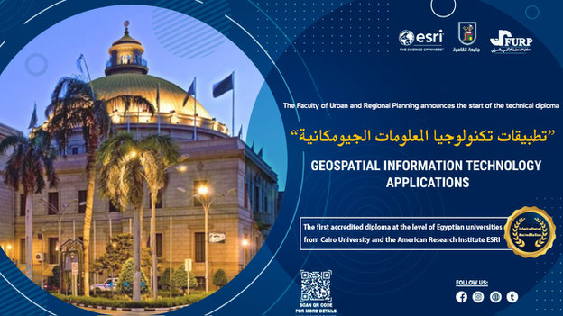
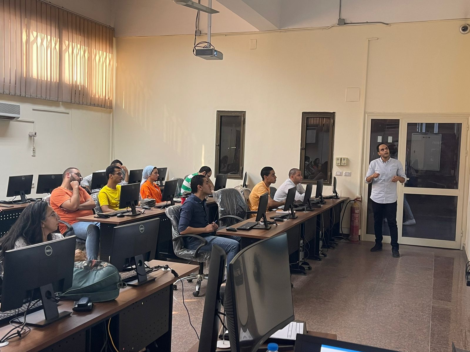
A diploma in (Geospatial Information Technology Applications) was initiated in cooperation between ESRI and the Faculty of Urban and Regional Planning in SICL laboratory


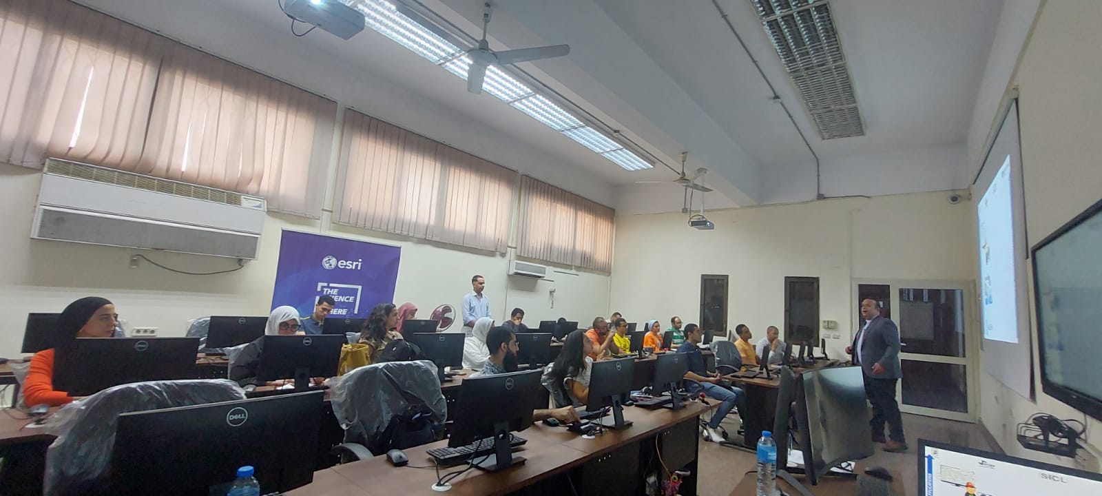

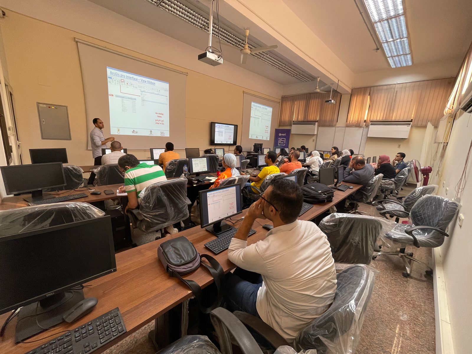


Geospacial Information Technology Applications Diploma
- Within the framework of the cooperation protocol between Cairo University and Esri International Company (ESRI). The Faculty of Regional and Urban Planning announces the organization of the first internationally accredited professional diploma from Cairo University and ESRI North Africa.
- The diploma aims to prepare a generation of graduates for the labor market with scientific and applied experience in the digital environment and participatory information systems on the latest platforms ArcGIS Online, ArcGIS Enterprise by applying to GIS programs